
Think you have abandoned wells on your property or are you just curious about wells near your home?
The following tools can be used to find the locations of known wells in Pennsylvania.
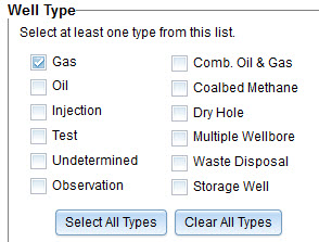
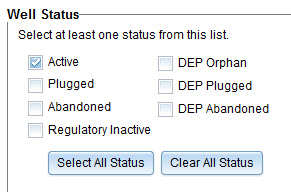
This site allows the user to locate known wells. Through a search selection process you can locate unconventional and conventional wells. Wells can be selected for both well type and well status. The instructional video below is helpful in learning how to use the mapping software.


PA Oil and Gas GIS Mapping site
Instructions for using the PA Oil and Gas Mapping site YouTube Video
This is a Google Map of wells located by VPASEC. These wells are in Oil Creek State Park, and several game lands in Venango County.
Map of Abandoned Wells in Venango County found by Venango PaSEC
This map shows the locations of wells being plugged with funds from the federal Infrastructure Investment and Jobs Act (IIJA).
Map of Wells being Plugged with IIJA Funding
Map of Active and Permitted Unconventional Wells FRACKTRACKER
PA DEP permitted Unconventional Well Locations
This is a website that shows the location of known wells. RBDMS Well Finder
There is also a phone App. Look in App Store or Google Play for the RBDMS Well Finder. Also provides information about each well.
PA DEP Conventional Well Locations
"Active" Wells - FRACTRACKER
Oil and Gas Wells in Pennsylvania FRACKTRACKER
USGS Topographic Map Access Point
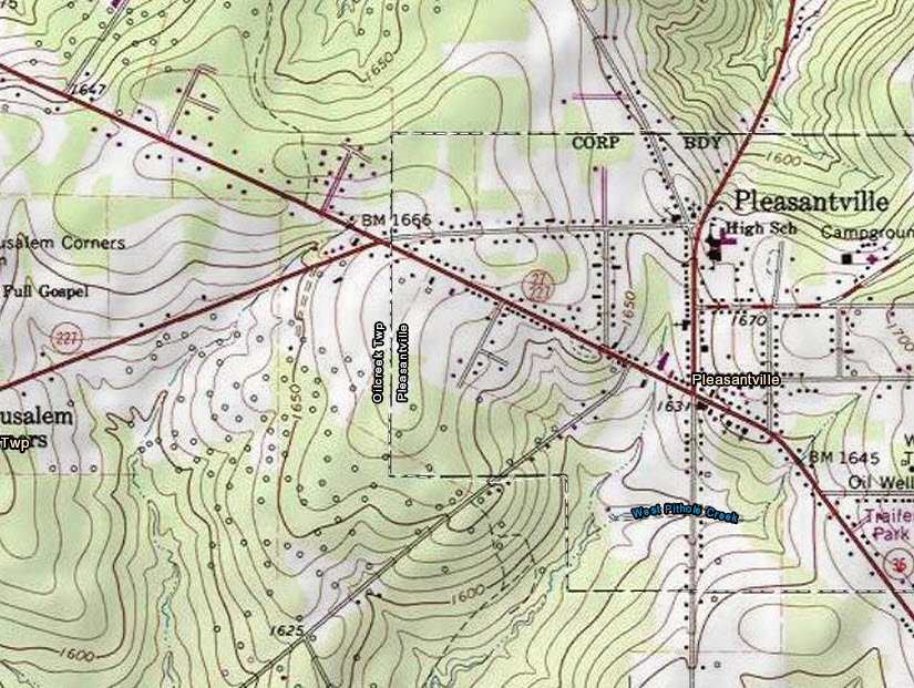
Using older USGS Topo maps is a good way to find areas that have had well drilling activity in the past.
USGS Topo
These maps take a bit of setup.
1. On the left side select the state. You can also just drag to it.
2. Be sure "USA Topo" is set in the view hamburger / pancake stack
Your looking for a map that looks like the following.
Each tiny open circle represents a well area.
Click the image for a larger view.
The open circles represent historical information. Not all of the circles are GPS accurate and many are not in DEP's database.

Venango County PA Parcel Viewer
The Parcel Viewer does not show well locations but it will show where your property boundaries are so you can better tell if there are wells on your land.